
Master Civil 3D for Roads, Land & Infrastructure Design
Civil 3D is Autodesk's software for planning, designing and documenting infrastructure: roads, highways, railways, land development, drainage and water networks. Learn to turn survey data into terrain models, design alignments and corridors, calculate earthworks and produce construction drawings, with classroom training in Kochi, Thrissur, Irinjalakuda, Attingal (Trivandrum) and Palakkad, plus online and hybrid batches across Kerala.
4.9/5
23,487+ Reviews
8
Design Modules
3
Study Modes

Classroom | Online | Hybrid
Learn surveying, surfaces, grading, road corridors and pipe networks in Civil 3D from industry-experienced faculty, with CTDS & Core certifications.


Study ModeClassroom, Online, Hybrid
CertificationCTDS & Core
LevelBeginner to Advanced
Helpful BackgroundAutoCAD 2D basics
CareersPlacement Assistance
Civil 3D: Navigating the World of Civil Engineering Design
Civil 3D is cutting-edge Autodesk software that changes the way civil engineers and designers plan, design and manage infrastructure projects. Whether you are a civil engineer, designer or drafter, this course helps you streamline your design workflow and create efficient, accurate and data-rich designs, where a change to the terrain, road or pipe updates every related profile, section, label and quantity automatically.
What You Will Learn
A complete infrastructure design workflow, from raw survey points to issued construction drawings.
- Survey Data Management & Terrain Surfaces
- Grading, Earthworks & Volume Calculation
- Road & Highway Alignments, Profiles & Corridors
- Storm, Sewer & Water Pipe Network Design
Who Should Join?
Anyone who designs or drafts civil infrastructure.
- Civil Engineering Students & Graduates
- Diploma Holders & Civil Draughtsmen
- Site, Highway & Survey Engineers
- AutoCAD Users Moving to 3D Design
Dynamic, Model-Based Design
Harness the power of dynamic design changes: edit an alignment or surface once and Civil 3D updates profiles, corridors, sections, labels and quantities for you.
Hands-On Projects & Expert Faculty
Gain familiarity with Civil 3D's interface and tools under experienced instructors, then apply every feature to real infrastructure work: a site grading plan, a road corridor with cross sections and earthwork quantities, and a drainage network with plan and profile sheets. You finish with a portfolio that shows employers you can deliver a project end to end.
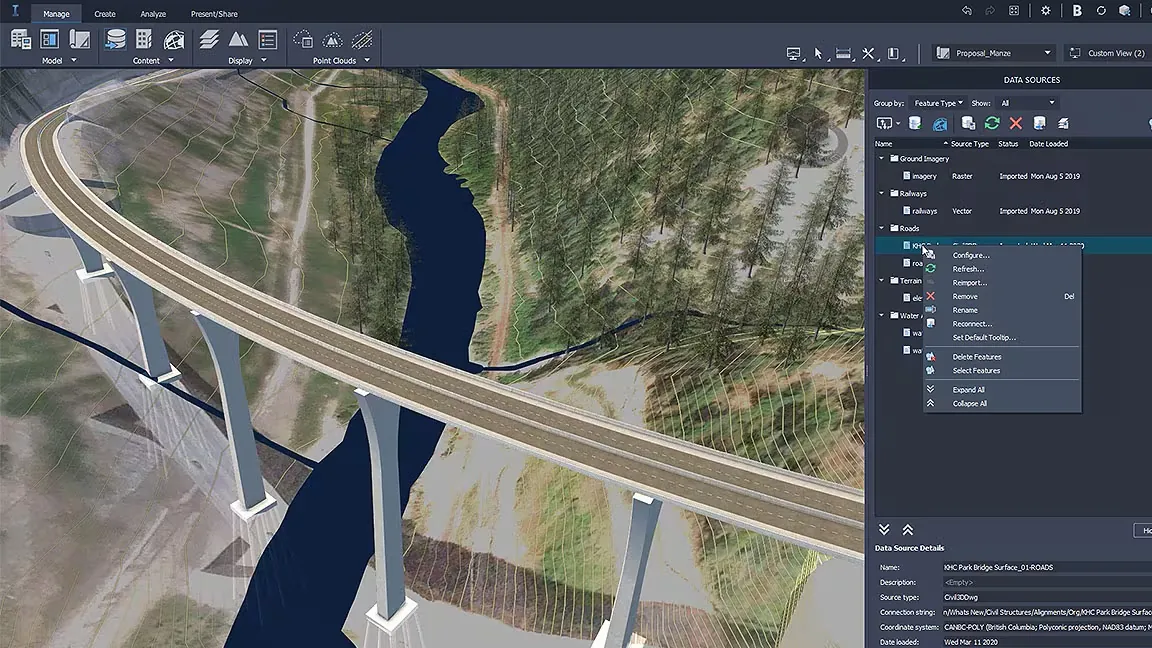
Where Civil 3D Is Used
Infrastructure design skills used by consultants, contractors and government projects in Kerala, across India and in the Gulf.
Roads & Highways
Urban roads, highways & junctions
Railways & Metro
Track alignments & formation design
Land Development
Layouts, plots & subdivisions
Site Grading
Cut & fill, pads & earthworks
Stormwater & Sewer
Gravity drainage networks
Water Supply
Pressure pipe distribution
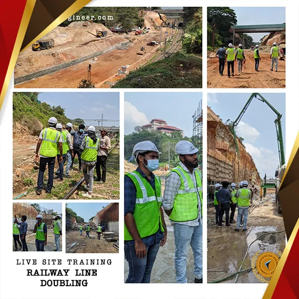
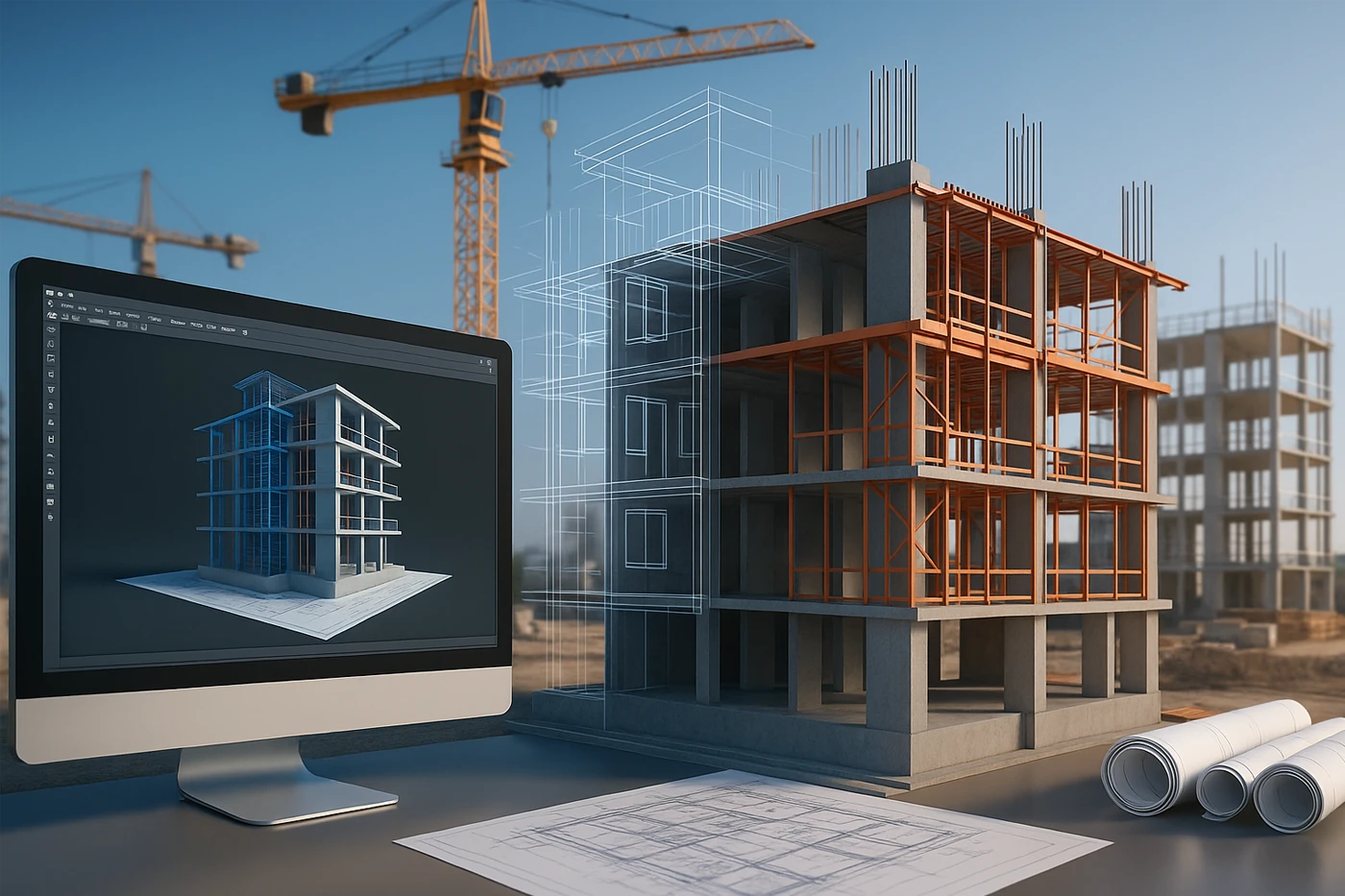
From Survey Data to Built Infrastructure
The kind of road, rail and site work you will model in the course, and the projects our students visit on live site training.

Your Learning Path
A step-by-step journey from your first terrain surface to a job-ready infrastructure portfolio.
Learn
Expert-led demos of each Civil 3D tool
Practise
Hands-on exercises in every class
Design
Site, road & drainage projects
Certify
CTDS & Core certificates on completion
Get Placed
Portfolio review & placement assistance
Why Learn Civil 3D at CORE?
For 14 years, CORE Institute of Technology has trained civil engineers, draughtsmen and designers across Kerala in industry-standard CAD, BIM and infrastructure design software.
- Authorised Training CentreAutodesk software training with CTDS and Core certifications and a certificate of completion.
- Experienced InstructorsFaculty with civil design experience who review your surfaces, corridors and drawings and show you how projects are delivered in practice.
- Live Site ExposureSee real road, rail and building projects on live site training, so you understand what your Civil 3D models become.
- Award-Winning InstituteRecipient of the CTDS Excellence Award 2023–2024.
- Centres Across KeralaKochi, Thrissur, Irinjalakuda, Attingal and Palakkad, plus online and hybrid batches.

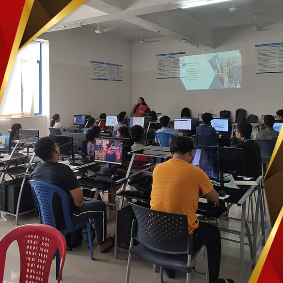
Master Core Civil 3D Tools
Gain practical command of the Civil 3D features infrastructure designers use every day.
Toolspace & Prospector
Objects, styles & settings
Points & Survey
COGO points, groups & figures
Surfaces
TIN, contours, slopes & volumes
Grading & Feature Lines
Pads, slopes & cut and fill
Alignments & Profiles
Curves, spirals & vertical design
Corridors & Assemblies
Roads, junctions & cross sections
Pipe Networks
Storm, sewer & pressure pipes
Parcels & Sheets
Plots, labels & plan production
Comprehensive Civil 3D Syllabus
Structured modules that take you from Civil 3D's interface to complete road, site and drainage designs with quantities and construction drawings.
01. Introduction to Civil 3D
- Civil 3D Applications & Workflow
- Interface, Ribbon & Toolspace
- Prospector, Settings & Object Styles
- Templates, Units & Coordinate Systems
02. Points & Survey Data
- Importing Survey & Total Station Data
- COGO Points & Point Groups
- Description Keys & Point Labels
- Survey Figures & Linework
03. Surfaces & Terrain Analysis
- Surfaces from Points, Contours & DEMs
- Breaklines, Boundaries & Edits
- Contour, Elevation & Slope Analysis
- Surface Labels & Volume Surfaces
04. Grading, Parcels & Earthworks
- Sites, Parcels & Plot Layouts
- Feature Lines & Grading Groups
- Grading Criteria, Pads & Ponds
- Cut & Fill Volumes and Mass Balance
05. Alignments & Profiles
- Horizontal Alignments, Curves & Spirals
- Design Criteria & Superelevation
- Surface Profiles & Profile Views
- Vertical Design, Grades & Curves
06. Corridors & Road Design
- Assemblies & Subassemblies
- Corridor Modelling & Targets
- Intersections & Junction Design
- Sample Lines, Cross Sections & Quantity Takeoff
07. Pipe & Pressure Networks
- Parts Lists, Pipes & Structures
- Storm & Sewer Gravity Networks
- Pressure Networks for Water Supply
- Pipes in Profiles, Sections & Interference Checks
08. Plan Production & Collaboration
- Data Shortcuts & Team Workflows
- Plan & Profile and Section Sheets
- LandXML, InfraWorks, Revit & Navisworks Exchange
- Final Project & Portfolio Review
Build a Career in Infrastructure Design
Roads, railways, metro, water and drainage projects need engineers who can design in 3D and produce accurate quantities and drawings. Civil 3D skills give you a competitive edge with design consultants, contractors and infrastructure firms in Kerala, across India and in the Gulf.
Top Career Opportunities
- Highway Design Engineer
- Civil 3D Designer / Draughtsman
- Infrastructure Design Engineer
- Land Development Engineer
- Drainage & Utilities Designer
- Survey CAD Engineer
- Infrastructure BIM Modeller
Enroll Now
Secure your seat in the next Civil 3D batch.
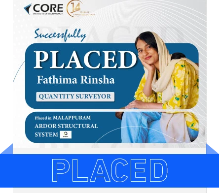
Our Students Get Placed
CORE students are working with construction, engineering and industrial companies across Kerala and India.



Awards & Recognition
Recognised by Autodesk and CTDS for training quality and student outcomes.


Earn Recognised Civil 3D Certificates
Validate your Civil 3D skills with credentials valued by employers in India, the Gulf and beyond.

CTDS Certificate
A recognised certification for technical skill development awarded on successful completion.

CORE Course Certificate
Your CORE Institute of Technology certificate of completion for the Civil 3D course.
Pair Civil 3D With In-Demand Civil Software
Civil 3D builds on AutoCAD and works alongside Revit, Navisworks and ReCap on infrastructure projects. Add these courses to become a complete civil design professional.


Our Certifications & Affiliations
Core Institute of Technology is an authorised certified training centre.

Explore Related Programs
Build on your Civil 3D skills with our specialised diploma and certification programs for the Architecture, Engineering and Construction (AEC) industry.
